


Overview of hydrological situation of February 10, 2026
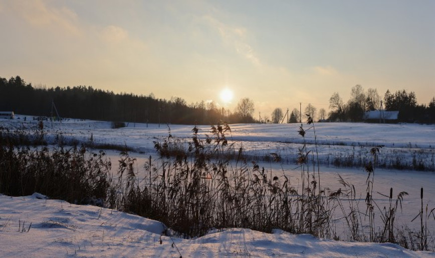
As of February 10, a stable ice cover with a thickness of 8–39 cm is observed on the country's rivers, with polynyas occurring locally in the ice sheet.
On the Vileyka, Chigirinka, Salihorsk, Zaslawye, and Krasnaya Sloboda reservoirs, as well as on Lakes Narach, Dryvyaty, Chervonaye, and Lukomlskoye, a continuous ice cover with a thickness of 30–49 cm is present.
On most rivers, water levels are decreasing (by 1–31 cm per day) or following a steady trend. However, on the Viliya, the Western Dvina near the village of Ulla, the Neman near Stoŭbtsy, some of their tributaries, as well as on certain tributaries of the Western Bug, the Dnieper, the Berezina, the Sozh, and the Pripyat rivers, water levels are rising with a daily intensity of 1–18 cm. On the Ptsich River, a tributary of the Pripyat, near the village of Pershaya Slabodka, water remains on the floodplain in a frozen state.
Until the end of this week, water level fluctuations will continue on the rivers, and weather conditions will contribute to the appearance of water on top of the ice.
When using the information a reference to Belhydromet is obligatory
Specialized sites
Informational resources
 State Symbols of the Republic of Belarus
 The National Legal Internet Portal of the Republic of Belarus
 The Ministry of Natural Resources and Environmental Protection of the Republic of Belarus
 The Official Internet Portal of the President of the Republic of Belarus
 The Portal for Rating Assessment of the Quality of Services Provided by Organizations in the Republic of Belarus
 The CIS Interstate Council for Hydrometeorology (CIS ICH)
 Information Analysis Portal of the Union State
 The Union State Committee on Hydrometeorology and Environmental Contamination Monitoring
 The Internet Portal "The Youth of Belarus"